World of Arcadia is beautifully depicted by a series of illustrated maps. These maps were created eons again and both their source and creation has been lost in time.
These maps should not be fully trusted. They give an approximation of the lands masses, oceans, mountain ranges and various key landmarks.
There are 3 scales of illustrated maps, starting with the world map and then zooming in to more detail on the regional map before reaching the detailed regional map.
World Map #
This map depicts the various continents (a.k.a regions) and how they related to one another.
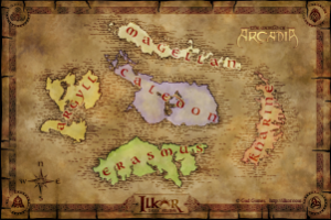
A brief overview of the World of Arcadia can be found in Arcadia’s Gazetteer.
Regional Map #
Each of the five regions have a regional map. Below is that of Caledon.
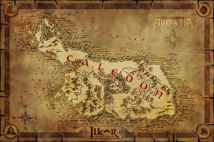
Arcadia’s Gazetteer provides a wealth of information on each region alone with it’s map:
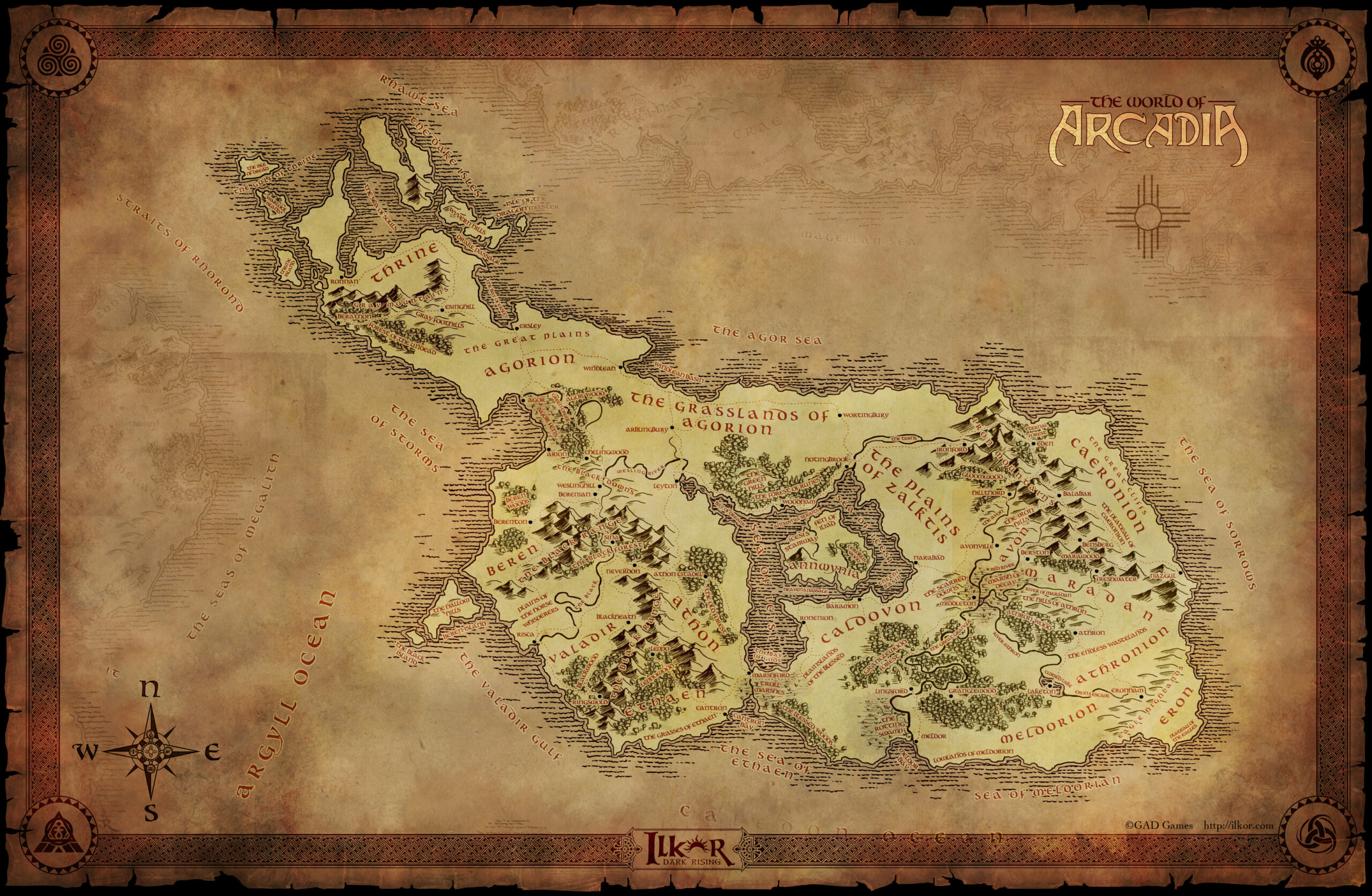
Detailed Regional Map #
These maps are massive and can only be downloaded. They clearly indicate the key landmarks, main roads and settlements. These maps are only made available to players once they reach the region in question.
All players currently start on Caledon and therefore this is the only detailed regional map that is available for downloading.